

State Profile
State Profile of Bihar
With a mission to actively engage the global Bihari community, the Bihar Foundation aims to leverage their knowledge, network, and resources for the state’s holistic development. Recognizing the significant migrant population from Bihar across major Indian cities, the Foundation is establishing Integrated Centres of Bihar (ICB) — dedicated hubs offering essential services, guidance, and support to the Bihari diaspora.
Bihar is located in the eastern part of India — a land steeped in ancient civilisation and spiritual heritage. Bounded by Nepal to the north and Jharkhand to the south, the state is shaped by the River Ganga flowing majestically west to east, dividing the fertile alluvial plains that have nurtured kingdoms, scholars, and cultures for millennia.
State Capital
Patna
Total Area
94,163 sq km
Official Language
Hindi & Urdu
Formation
22 March 1912
Administrative Framework
9
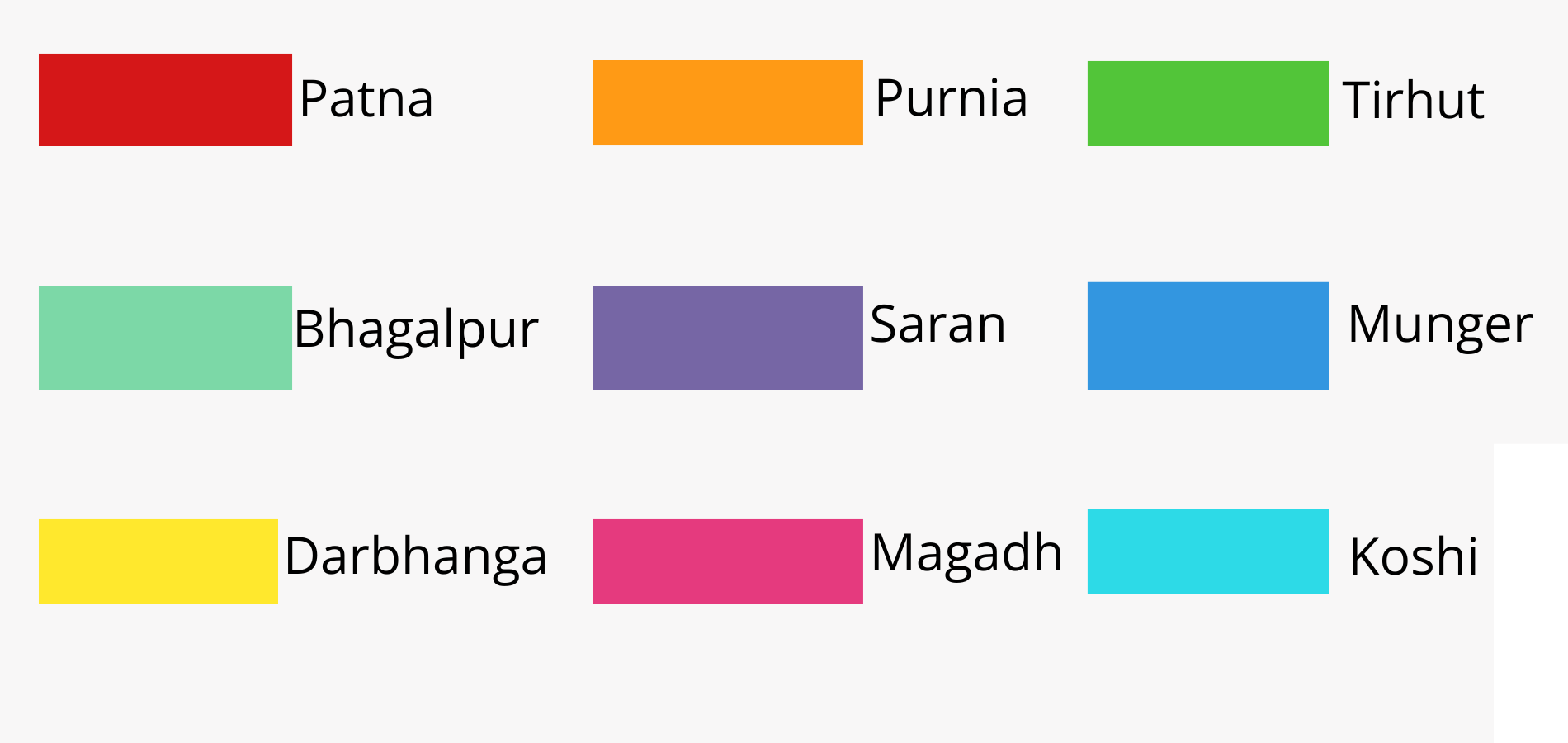
Divisions
38
Districts
101
Sub-Divisions
534
CD Blocks
8,053
Panchayats
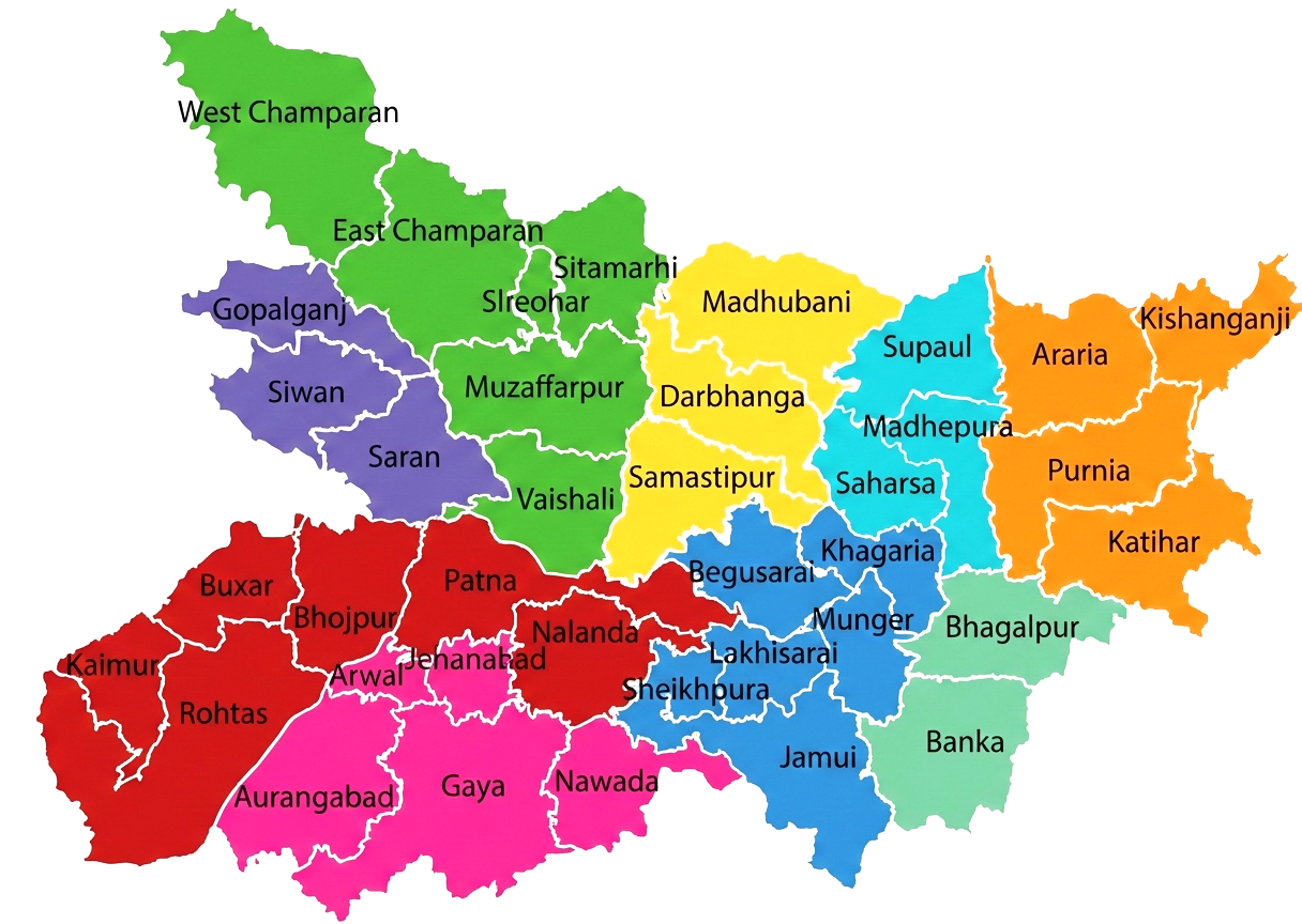
Administrative Divisions of Bihar
| Revenue Villages | 45,858 |
| Total Towns | 199 |
| Police Stations | 853 |
| Police Districts | 40 Civil, 4 Railway |
Bihar at a glance
Physical Features
| Latitude | 24° – 27° N |
| Longitude | 83° – 88° E |
| Rural Area | 92,257 sq km |
| Urban Area | 1,095 sq km |
| Average Elevation | 173 ft (53 m) |
2011 Census Highlights
| Population Density | 1,106 / sq km |
| Highest Density District | Sheohar |
| Lowest Density District | Kaimur |
| Sex Ratio | 918 females / 1,000 males |
| Highest Literacy District | Rohtas |