

Geography
Geography of Bihar
The Land of Ganga, Hills & Plains.
Bihar, situated in eastern India, is a landlocked state bordered by Nepal to the north, West Bengal to the east, Uttar Pradesh to the west, and Jharkhand to the south. It spans an area of about 94,163 sq. km, making it the 12th largest state in India.
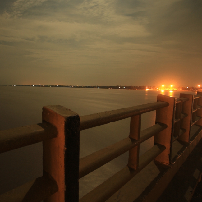
The mighty Ganga River flows from west to east through the centre of Bihar, dividing it into northern and southern regions while enriching its fertile plains. The northern part consists of the vast Gangetic plains formed by rivers such as Gandak, Kosi, Bagmati, and Mahananda, making it one of India’s most fertile agricultural belts.
The southern region features gently undulating terrain with rocky uplands that extend from the Chotanagpur Plateau. Bihar’s climate is humid subtropical, marked by hot summers, a monsoon season (June–September), and cool winters.
The state’s natural vegetation includes tropical deciduous forests found in districts like Rohtas, Gaya, and Nawada. The rich alluvial soil and abundant water systems support major crops such as paddy, wheat, maize, pulses, sugarcane, and oilseeds.